MEDIA & INTERACTION DESIGN
PHOTOGRAPHY
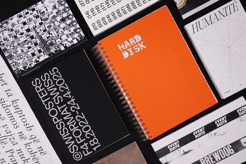
Redesign 24-25 - S1
with Giliane Cachin
As part of the course given by Giliane Cachin, 1st year students are required to produce an edition by examining the different axes that make it up. The course offers a study of various grid systems and the fundamentals of micro-typography. During the semester, students will look for the best way to structure and arrange the content they have chosen (or which has been assigned to them, depending on the semester's data). Some essential rules to know in terms of printing and bindings will be reviewed at the end of the semester, in order to bring the conceptualized object to life.


